When we put away the motorcycle riding in about 1980 to raise our family we always planned to return after the kids were raised (AK – after kids). We had always assumed that we would return with a Goldwing. When the time came to purchase another bike and return to riding (in 1999) after looking at the available Goldwings we decided that they were just too bulky and didn’t handle the way we wanted – we wanted something a little more sporty. While we enjoyed several sport-touring/adventure bikesHonda had upgraded the Goldwing in 2001 with a bigger engine and a more sporting frame, etc. Since then we had it in the back of our mind that we would upgrade to a Goldwing but they were just too expensive.
Purchasing new Goldwing in Sacramento
Recently I started to watch the prices for used Goldwings and lo and behold they were actually affordable. In June we pulled the trigger and bought a clean 2002 Goldwing from a dealership in Sacramento. We are looking forward to our new era in motorcycling with the Goldwing.
First ride – Lassen Volcanic National ParkFirst ride – Lassen Volcanic National Park
It started snowing on Valentine’s Day – when it was finished on the 17th we had about 3 feet of snow. It caused lots of problems for us but we will survive.
The big casualty at our place was the shelter in which I sometimes park the motorcycles. It had my V-Strom and Stella’s Yamaha inside when it collapsed. The only damage that I can see on the V-Strom is the right hand mirror is busted.
I slit the tarp and released the windshield of the V-Strom which was pushed almost flat against the handlebars. Stella’s TW200 took the brunt of the damage, with a busted speedo housing and tweaked subframe. I guess there won’t be any motorcycle rides for me until we get some warm weather and it melts.
After the collapseRocky thinks it's just a big white playground
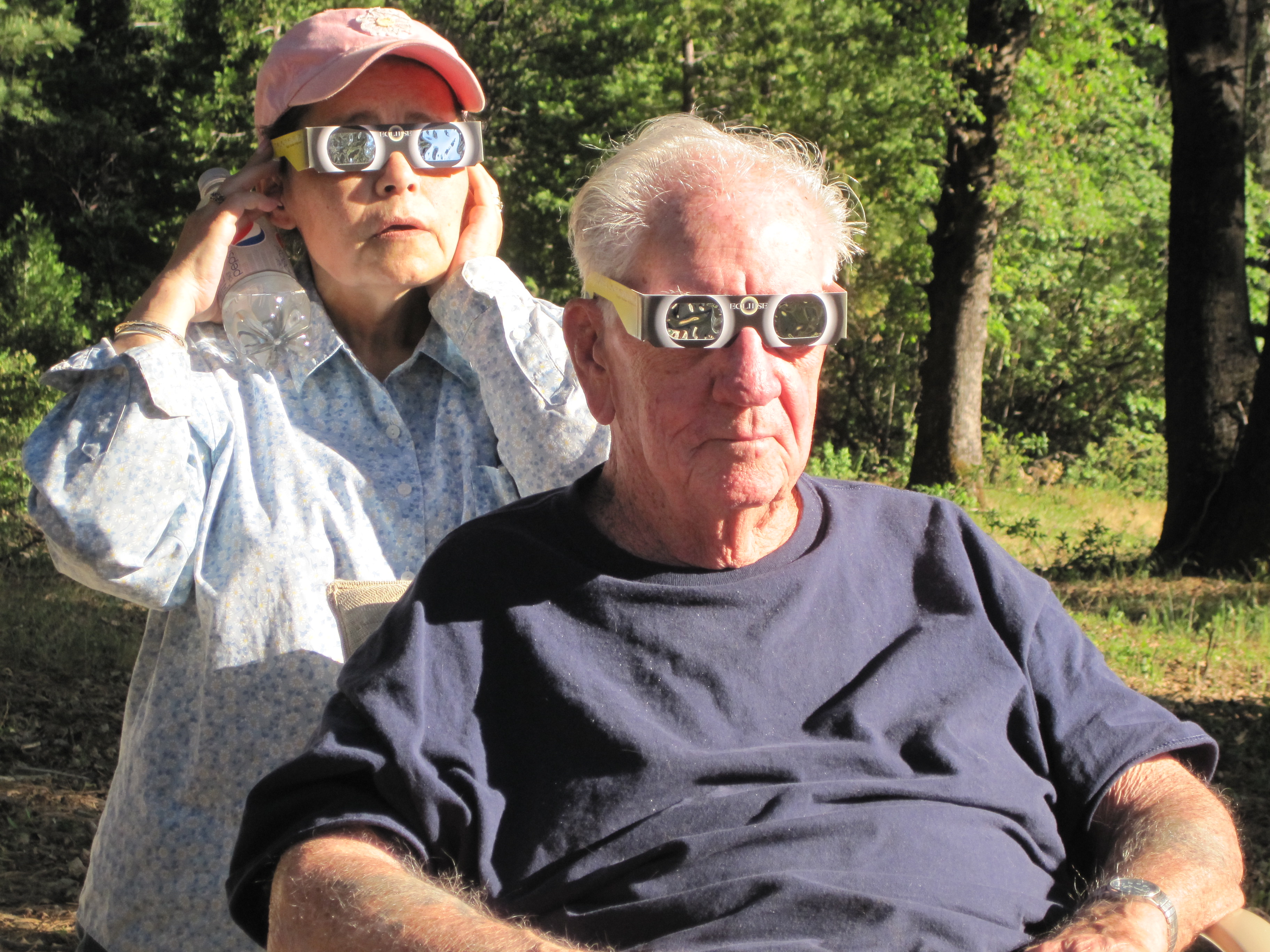
On May 20, 2012 Northern California was treated to a rare chance to see a total solar eclipse. We live in the forest, surrounded by tall trees, so we invited ourselves to our neighbor’s house. They live on the edge of Rock Creek Canyon and have a wonderful view to the West.
*Click the itty bitty pics for big ‘uns
Totality
The event was predicted to peak at 6:27 PM and we were ready. I had ordered from Amazon six pairs of Solar viewing glasses and a solar lens cover for my camera. We packed my Mom and Dad over to our neighbor’s and set up the camera and donned the “designer” glasses – we looked like we were ready for a 3-d movie.
Stella and Mom are readyStella and my Dad are ready
Here is a timelapse video of all the eclipse pictures – sorta herky jerky but here it is
httpv://youtu.be/VDnR_fAxBBA
Here are all the photos taken at the eclipse viewing
I recently purchased an Agasio outdoor camera for the purpose of providing a weather cam for my weather station. One of the side benefits of this camera is the ability to gather the uploaded jpg snapshots into a timelapse video. I am using Blue Iris 3 software to capture the snapshots and SebecTec software to combine the snapshots into a timelapse video. It is set to make a timelapse every 6 hours of the last 6 hours and to make a timelapse of the last 24 hours every night at midnight. Some of them turn out to be pretty boring while others can be pretty interesting. Since these are updated hourly and daily, I have setup a page for saved timelapse videos.
At the end of April we took a motorcycle ride to the coast. We spent 2 nights at Shelter Cove and one night at Fort Bragg before riding home via Albion, Lords Land, Clear Lake.
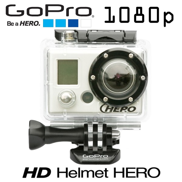
I’ve recently acquired several video clips on my computer that I wished to share with others via YouTube. I have a GoPro Hero HD video camera that comes in a nice waterproof enclosure and can be mounted on the motorcycle to capture on video some of our motorcycle rides. I also acquired an Olympus E-PL1 camera that takes HD videos. We also have a Canon SD1200 camera that takes nice videos. With all these video sources I started to look for software that would allow me to edit and publish these in a format that might be enjoyable to our friends and family.
GoPro Hero HD
I tried Windows Movie Maker which is a free program that does basic editing and is actually very powerful. Being new to video editing I didn’t fully understand how to use it and became a little frustrated with it. I did edit and publish a couple of movies with it.
I started to look for a better program that wouldn’t be too expensive and ended up downloading a trial version of Corel VideoStudio Pro X3. It proved to be the software that I was looking for – powerful enough to create great videos and easy enough to use for a video editing neophyte like myself. As it turned out Corel was about to release an X4 version of the software and had a very attractive price on the X3 version so I snapped it up.
Below are some YouTube videos that I have published. Please remember that I am just learning and most of these are pretty crude. Some were uploaded in raw format and some were edited. I am trying very hard to not get too carried away with all the bells and whistles available with VideoPublisher and make it look too cheesy. In fact, I find that like in my previous programming and web page building that while I am pretty good at the technical end, I’m not much in the creative end.
Here are some samples, enjoy!
One of the first videos from the GoPro HD, I was just experimenting – no editing! It was a cloudy/foggy day so the lighting isn’t great.
httpv://www.youtube.com/watch?v=Pr_Uk99dAls
Here is a video taken with the GoPro on Wildwood Road near Highway 36 in Northern California. This one I edited using Windows Movie Maker to take out some boring footage. I could now really doll it up and take out some more boring footage using VideoStudio – maybe one of these days.
httpv://www.youtube.com/watch?v=eQVrXw3qOXc
Here is a video of pictures made using VideoPublisher as a tribute to our dog Sparty that passed away a couple of years ago.
httpv://www.youtube.com/watch?v=TQIPa9ohV2k
Here’s some footage of our ride on Toomes Creek Road near Paskenta, California. Edited with VideoPublisher
httpv://www.youtube.com/watch?v=z2FHcqEmAEU
Here is some footage of a drive out out our driveway and down Cohasset Road in the snow. Edited with VideoPublisher. Still pretty rough but I’m getting there.
We live in Cohasset, CA which is situated in the foothills of the Sierras about 20 miles NE of Chico. We have lots of wildlife but since they are mostly nocturnal we don’t see them very often. We see the results of some – namely Bears which can become quite a nuisance. We also have raccoons, Lynx Bobcat, squirrels, deer, skunks, foxes, turkeys, etc.
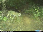
Keith and Joyce, our long time neighbors and friends, have a pond on their property which is about midway between five homes- about 200 yards away from their home. They had noticed that a beaver(s) had taken up residence but they were pretty shy and it was hard to get a glimpse of them. They were also curious about what animals visited the pond. They obtained a digital camera called a Cuddeback which is in a waterproof enclosure and is triggered by movement. The results were fantastic! They retrieve the pictures occasionally and enjoy the surprise pictures that result.
*Click on the itty bitty pics for bigger pics.
Mr Mountain Lion walking awayBr’er Bear at the pond
Our son Ben sent me some pictures of his activities – he belongs to a minibike stunt team called the 5150’s , they do some amazing things on those little (slightly modified) Honda 50’s.
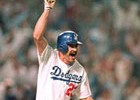
Kirk Gibson rounding the bases after the historic home run
Even if you’re not a Dodger fan (ya must be crazy if you aren’t) ya hafta appreciate the famous 1988 World Series winning home run by Kirk Gibson. Here it is in Tommy Lasorda’s words, a must read for any baseball fan.
At the end of April, Norb, Randy, Stella and I took a ride to the central coast of California. We left on Thursday, the 30th of April with a goal to make it to Pismo Beach on Friday to meet with Stella’s Cousin Richard and his girlfriend Nancy. After meeting with Richard and Nancy, we pointed the bikes North up the coast. We saw some awesome scenery along the Big Sur area, through San Francisco and to Petaluma and home. Here is a slideshow of all the pictures and following is my “ride report”.
San Francisco, Bay Bridge and the bay
Day 1 – Chico to Monterey ~ 275 Miles
Randy and Steve discuss the price of tea in China
We met at Norb’s house in Durham, rarin’ to go. It was a little cool but a beautiful day for a ride. We were looking at a 275 mile day with lots of slab, down 99 to I5 to Santa Nella, then turn West to Hollister (we bypassed Hollister and decided not to terrorize the town like Marlon Brando) and on to Monterey. We stopped for Lunch at Anderson’s Pea Soup in Santa Nella We’ve gone past it a zillion times and never stopped. Not a bad lunch for I5 road fare.
Anderson’s Pea Soup
The last 15 miles into Monterey were a harbinger of something that would heckle us for the next three days – wind. The wind was blowing off the ocean so hard we felt like we were driving sideways. The sand dunes and freeway cuts gave us a little relief but the blast at the end of a dune made us pay attention! Randy had made reservations at a Super 8 in Monterey and it wasn’t fancy but clean and reasonably priced. We unpacked into our rooms and went into Monterey for Dinner. Randy knew about a Mexican restaurant right on the water named El Torito. Nice place, a little pricey but ya pay a little extra for the view of the Bay. The Super 8 had a free continental breakfast that wasn’t bad so after gassing up on sugar, we took off.
El Torito’s Overlooking the bay
Day 2 – Monterey to Pismo Beach ~ 156 Miles
We intended to follow Hwy 101 down to Pismo Beach and decided to make it a little more interesting so we took Carmel Valley Road from Hwy 1 to Hwy 101. That turned out to me a good decision, Carmel Valley Road starts just a little South of Carmel and meanders over to Hwy 101 – starting as a busy Hwy and slowly shrinking into a twisty, picturesque little road. Near Hwy 101 it travels through a valley that is just thriving with agriculture – miles and miles of vineyards, very pleasing to see all the activity happening in the fields.
Stella taking a nap along Carmel valley RoadAlong the Carmel valley Road
Hwy 101 in that area is just another superslab passing through more farm lands. We passed a convoy of military trucks and when we stopped at a minimart/gas station for a butt-rest and ice cream cone, the convoy also stopped and filled their fuel tanks and their bellies. We had a good time talking with the Marine Corp soldiers and checking out their vehicles. They were from Sacramento and were typical of the Marines that I have met in the past – very polite with lot’s of Yes Sirs and Yes Ma’ams and patient with our dumb questions.
Stella checking out the big truck
Back on the road we arrived in Pismo Beach in the early afternoon where we were to meet Stella’s Cousin Richard and his girlfriend Nancy. We found our room at the Oxford Suites and it was a nice one. They didn’t have the accommodations that we needed (2 rooms, 1 for the guys and one for Stella and I) so we took a suite that had three beds and Stella and I took the foldout couch.
Courtyard at the Oxford Suites in Pismo
Part of the reason to start our coast route at Pismo Beach was to deliver
Stella’s Aunt’s remains to Richard who lives in the LA area. We planned to have a little memorial in the morning.
Cousin Richard
In the mean time we made reservations at a nearby steakhouse named Mclintocks. Stella and I had eaten at Mclintocks a few years ago and it’s a fun place with excellent food. They are staffed with college students from nearby San Luis Obispo and they are part of the show. They have a little deal where they pour your water from a couple of feet above the table and they never miss (?). Once in a while they have a customer hold an empty water-glass on their head, then they stand a chair and while blindfolded they pour water into the glass without spilling a drop. I don’t know how I became the next lucky customer (chump?) to have the blindfolded routine practiced on me but I suspect someone at our table was the culprit! I should have been suspicious when the young man said this was his first time but I was game and smiled while he proceeded to dump water all over me! Norbert had my camera and videotaped the whole fiasco.
Pouring the water
httpv://youtu.be/x0JlTEGd2x8
The next morning we went to the Pismo Pier and Stella and Richard walked on the beach and remembered his Mom’s life. Then we all went on the pier and prayed for Aunt Lala and said goodby. It was nice to visit with Richard and Nancy and we really thank Randy and Norb for bring patient while we had a family visit. we then packed up and headed North following Hwy 1 with a goal to spend the night somewhere near Monterey.
Stella and Richard walking the beach at Pismo
Day 3 – Pismo Beach to Santa Cruz ~ 188 Miles
Nice view of the ocean – taken from the back of the bike by Stella
The central California coast has some of the prettiest scenery in the world and there we were enjoying it from the back of the bikes. We made an obligatory stop at the Hearst Castle but opted not to take the tour – we just rested for a few minutes, took some pictures and moved on up the coast. We were getting hungry by then and started looking for a lunch spot. We were in the Big Sur area by then and we were so busy watching the scenery that probably skipped some good restaurants but we finally stopped at a little place called Whale Watchers Inn. As we started to go in, Randy remarked that this was probably one of those places where they have 15 dollar hamburgers. When we got inside, the menu showed hamburgers were in fact 14.95! Since we were hungry and it looked like slim pikens along the coast we went ahead and ordered. I had a hamburger and while it was good, it wasn’t worth 14.95!
Whale Watcher’s Inn – 14.95 burgers
We continued along the coast and had intended to find a room in Capitola. We have a mutual friend, George who has a family cabin/house in Capitola and we’d heard so much about it we wanted to check it out. We couldn’t find George’s place and we couldn’t find a room either! It seems that on Saturday night they are booked solid. We drove over to Santa Cruz and stopped at a Best Western Suites and asked the nice girl at the counter for a room – it was a little pricey so we wanted a room with 3 beds. After showing us a couple of rooms she gave us a 2 bedroom suite with a bathroom for each room (with a jacuzzi in the tub), a living room, a dining room and a fireplace. Pretty nice digs- as big as a lot of apartments. She only charged us 175.00 and split 3 ways that was pretty good. Randy made a little video tour of our digs. They had a really nice breakfast set-up where you could cook your own waffles and we gorged and headed on up the coast.
Day 4 – Santa Cruz to Petaluma ~ 130 Miles
Our Room in Santa Cruz
httpv://youtu.be/QIgA1dlfE18
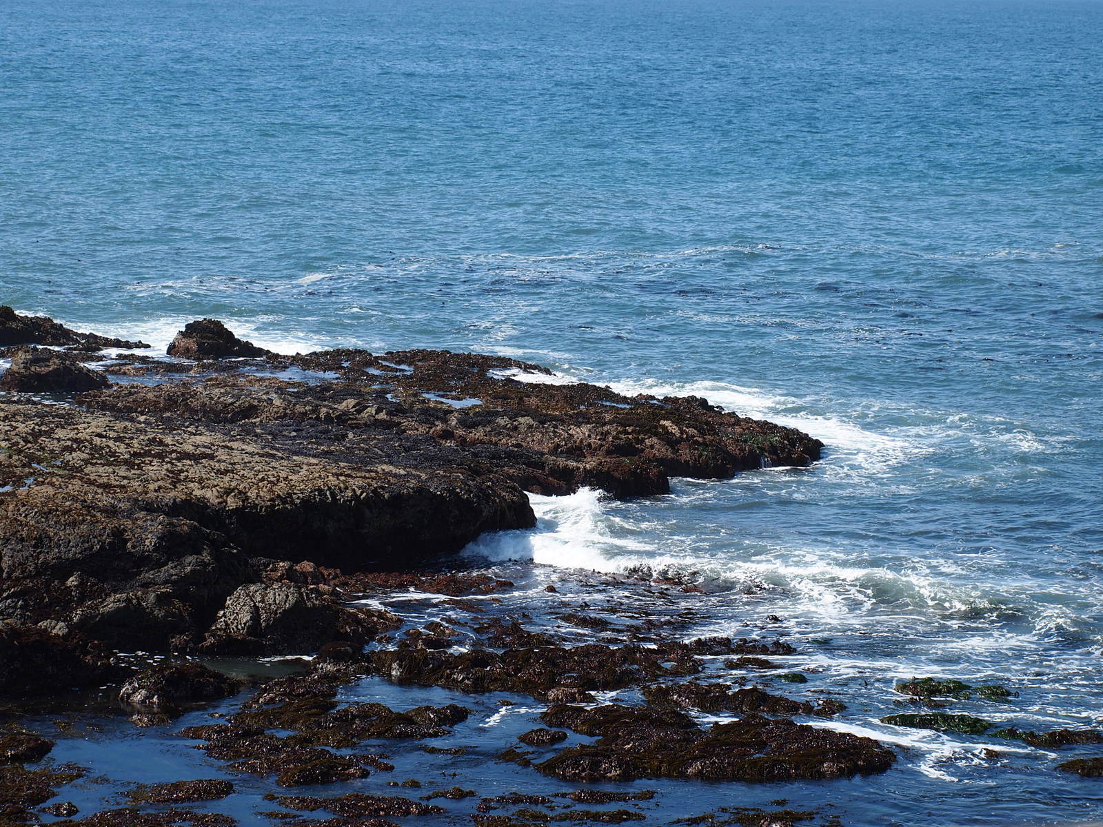
We proceeded up the coast following Hwy 1 towards San Francisco. Along the way we stopped at a lighthouse – Pigeon Point Lighthouse which turned out to be a neat stop and butt-rest. We walked around the grounds and took a bunch of pictures and generally enjoyed the scenery of the old lighthouse and the coastal views. There were vistas of the breakers crashing on the rocks below and if we looked close there were Sea Lions basking on the rocks.
Pigeon Point Lighthouse
httpv://youtu.be/di16ZTWCAnY
View from the lighthouse yardSea Lion on the rocks with my new telephoto lens
We then continued up the coast through Half Moon Bay and on into San Francisco. It was interesting to ride through the surface streets of San Francisco and look at the sights along the way even though the traffic on a Sunday afternoon was pretty congested – sometimes bumper to bumper. The Golden Gate bridge was our destination and it was cool to ride across even though it seemed that the whole city had turned out on this nice sunny day to gawk at the sights like we were doing. On the Marin side of the bridge we pulled into the vista point and after circling a couple of times, finally found a parking place. There were lots of photo ops there and we snapped a bunch. I had my new telephoto lens on the camera and was pleased with the shots I was getting.
Stella’s artsy photo from the back of the bikeGolden Gate Bridge on a sunny Sunday afternoon
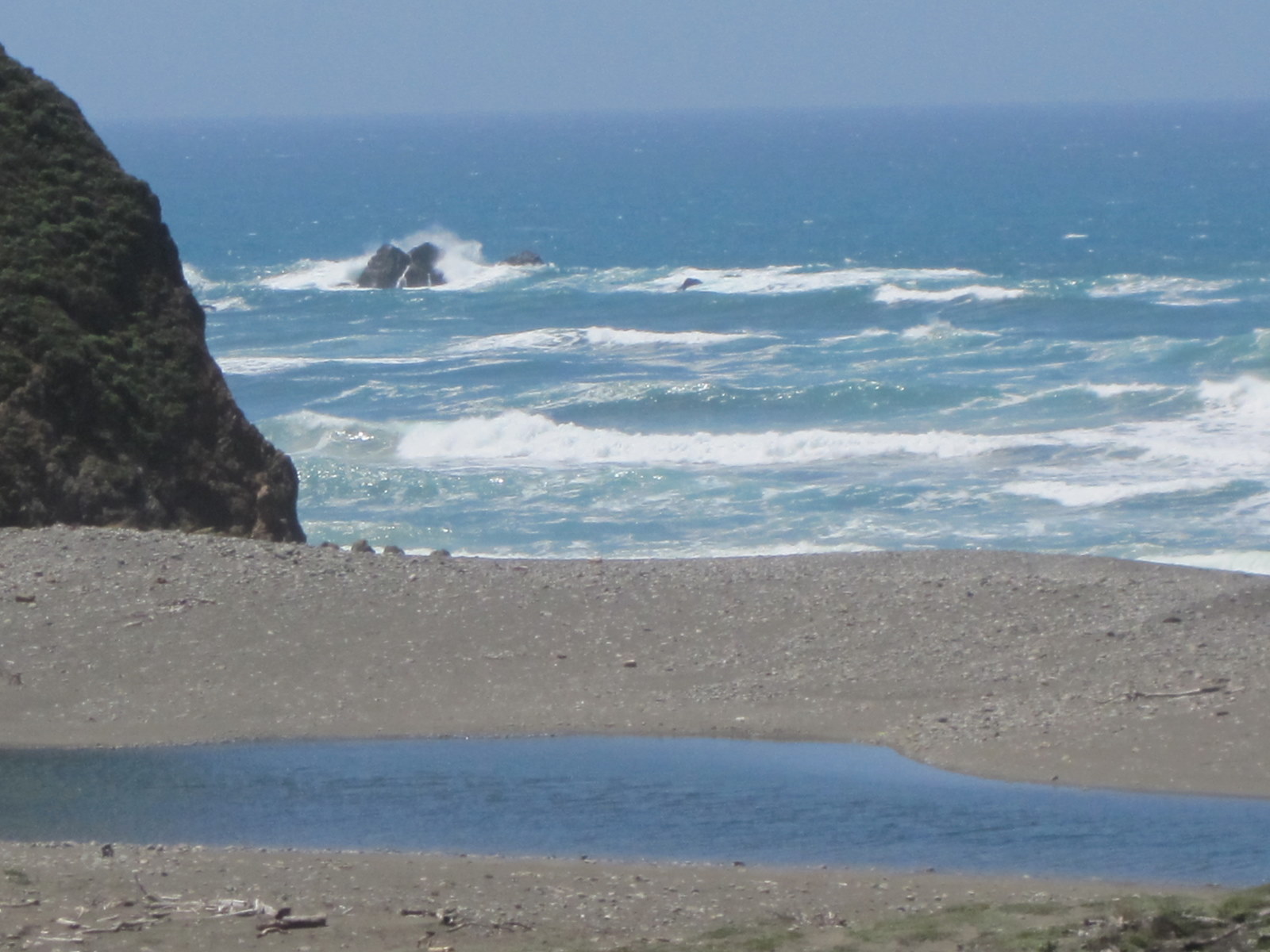
We continued up the coast and this was a part of the coast that I hadn’t traveled for years. I was pleasantly surprised at the ocean views that we were seeing on this stretch of Hwy 1. I had forgotten how pretty it was along this part of the coast.
Nice Cove
We stopped in Olema and had a nice lunch. While eating lunch we dragged out the maps and decided to head inland with the goal being to reach Petaluma to spend the night. We followed the Point Reyes Petaluma road which turned out to be a nice motorcycle road that wandered over green hills and through pretty agricultural valleys.
Stella owned the umbrella at Olema – at least it had her name on it!
Day 5 – Petaluma to Chico ~ 183 Miles
After spending night at the Best Western in Petaluma, we hit the twisties again over through Calistoga and Middletown to Hwy 20 and down to Williams where we had a nice meal at Granzella’s. Granzella’s has been a standard stop for us on our motorcycle trips for some time. A few years ago it burned to the ground but it is now rebuilt and roomier and still serves great meals.
From Williams we followed the River Road back to Chico and home. We had a very nice trip with good friends and great scenery. Thank you Lord for giving us the ability to enjoy your creation with great friends!
We planned a ride to Death Valley last year in April but a storm came up so we changed our destination to Northern Nevada and Northeastern California. This year we planned a trip to Death Valley on the same weekend as last year and the weather cooperated. There were 5 of us planning to go – Bob (BMW k1100rs), Randy (GS1150) , Rich (GS1200), Norb (V-Strom 650), and Steve (V-Strom 1000). Go here for all the pictures.
*click on the itty bitty pictures to see big ‘uns
Day 1 – Thursday, April 2 Chico to Bishop ~ 400 Miles
We planned to meet at Randy’s house in Stilson Canyon at 7:00 AM and have breakfast inGrass Valley but as usual plans are made to be broken! Wednesday evening Rich discovered that his battery had gone south so he would have to wait for Ozzie’s (the local Beemer store) to open so he could obtain a replacement. Since we had some time to kill, the rest of us went to Scrambles for some breakfast. While waiting for Rich, the UPS delivery man called me on my cell and said that he would be delivering my new camera that day – well, nobody was going to be home and the delivery required a signature so I made arrangements to have them hold it at the UPS terminal and I would pick it up on the way out of town. Meanwhile, Norb remembered that he forgot something at his house in Durham (which is also on the way out of town) so he went home and we arranged to meet him there. So, here we are, Rich is at Ozzie’s, Bob and Randy are at Scrambles, I am at the UPS terminal and Norb is at home – What a start!
We all finally got back together at Norb’s house and we were on our way! We had a nice ride up I80 to Truckee when the fun (?) started again. Bob was leading the way and at the last minute we got off the freeway at what we thought was the correct offramp to cut over to Lake Tahoe – well, Bob was already past the offramp and he went on to the next offramp and we finally got on the right road for Tahoe and stopped to wait for Bob who had gotten back on the freeway and was looking for us. Long story short, we finally found Bob and continued on for a beautiful drive through Lake Tahoe and down to Carson City. We stopped for lunch at Round Table in Minden, NV where I finally could open the new camera and set it up and snap a few pictures. Cool camera!
First Picture with the new camera, I just pointed and pushed the button
httpv://youtu.be/gWKR_46mPBg
After Minden/Gardnerville we aimed the bikes down hwy 395 for one of the most picturesque drives that I have ever seen. 395 in the Spring can’t be beat. With the snow covered Sierras on our right and the White Mountains on our left it was one of the prettiest rides I’ve ever taken. Every bend in the road uncovered another breath-taking vista. We stopped frequently to take pictures and to generally ooh and ah over the sights.
Day 2 – Friday, April 3 Bishop to Stovepipe Wells ~ 200 Miles
Dinner at Jake’s in Bishop
We got up and took our time having breakfast waiting for it to warm up a bit. There were signs of the strong North wind that would plague us for the next two days. We were initially heading south so the wind would be at our backs for awhile – we followed 395 to Big Pine where we turned East on hwy 168 – yes, I said East, now we had a taste of the North wind slapping us in the side of the helmets for most of the rest of the day.
Death Valley RoadRandy contemplating Death Valley Road
After a few miles we turned on to Death Valley Road which was a nice gravel road with some really scary patches of sand with which all of us except Rich had brushes with tank slappers – kind of scary as the sand looked the same as the rest of the road and we would hit them with no warning.
Scotty’s Castle
Death Valley Road brought us into the Park very close to Scotty’s Castle – boy were we ready for pavemant by then! We headed East a few miles to visit Scotty’s Castle. Scotty’s Castle is a very ambitious home/mansion/villa stuck in the middle of the desert. In the early 1900’s a charecter known as Death Valley Scotty was rumored (rumor fueled bu Scotty himself) to have found a secret Gold Mine in the desert. He promoted funds from unsuspecting investors to develop the mine. All he seems to have developed is a nice living for himself. One of the investers, Albert Johnson of Chicago struck up a friendship with Scotty and even though Mr Johnson knew there was no gold mine, he continued to “grubstake” him. Mr Johnson funded the building of the “castle” as a retreat for he and his wife. Here is a web page with a nice write-up of the life and times of Walter Scott “Scotty“.
Ranger Lady at Scorry’s
The Ranger Lady, upon noticing our wierd clothes (riding gear), asked if we were on motorcycles and we said yes, why? She said that they have had Coyotes and Ravens getting into saddlebags looking for food. The Coyotes just chew through leather or textile bags but the Ravens were smarter and opened zippers. We thought “sure, sounds like an urban legend”. Norbert and Rich decided to take a walk to the parking lot and check out the bikes – they found Randy’s tail bag opened and stuff strewed on the ground! I guess it wasn’t an Urban Legend after all.
After grabbing a bite at the snack bar at Scotty’s and gathering Randy’s stuff, we headed south to see what we could of the area with the time we had left in the day. We had an eyefull of fantastic desert vistas and different colored landscapes. Several times we spotted sand storms in the distance – once near Stovepipe Wells it looked like we were riding directly into the sandstorm but at the last minute the road veered around it. We arrived at Furnace Creek and visited the Death Valley Museum. The museum is a very interesting place certainly with lots of facts about Death Valley and a WONDERFUL place to get out of the wind for a few minutes!
Desert SceneryThe gang, Rich, Randy, Bob, Norb and Steve
We then decided to visit a “must visit” spot, Badwater where the lowest spot in the US happens to be. Randy’s GPS elevation reading seemed to be right on the money, mine seemed to read about 20 feet low – shucks!
My GPS at Badwater, Lowest place in the US
We headed North with the goal being Stovepipe Wells where we had reservations for the night. We took a little one lane one way loop called Artists Pallette which turned out to be a stunning ride – every corner had another view of multicolored desert hills. We stopped at one spot and since the sun was going down but was obscured by clouds, we waited for the “magic” moment but the sun never really came out – it was still a fantastic scene. After the scenic loop we headed for Stovepipe Wells to get a room and dinner. Near Stopepipe Wells there is a large section of sand dunes. We realized when we saw it that one of the sand storms that we had spotted and skirted around during the day was at the sand dunes at which we were looking.
Artist’s Palette
We checked in to our rooms – pretty nice rooms but they should have been plush for the 128.00/night that we paid. Randy and Rich shared a room and Norb, Bob and Steve shared another. While getting settled into the room and getting ready for dinner we had a scare – Bob couldn’t find his keys! With thoughts of calling his wife to bring a spare set of keys from Chico (~500 miles away!) we continued searching on the ground and all through his bags and pockets in his riding gear and finally found them where they had fallen down into the bottom of his fairing – whew, that was a scare.We all made mental notes to make sure we always had a spare key on trips like this. With the key scare out of the way, we met Rich and Randy for dinner and had a very pleasant and relaxing dinner. After dinner, I was sitting on the porch enjoying a cigar and struck up a conversation with a nice young couple in the room next to us. It seems that they were camped in a campgroundnear the motel when the wind came up and ripped their tent to shreds! They got lucky and got a room at the motel because someone had canceled their reservation due to the high winds. They were too late for dinner as the restaurant had closed so they were cooking their dinner with their camp stove on the porch – semi-roughing it! The next morning when the wind had died down some, we were able to have a nice view of the sand dunes out our window.
Bob’s Secret Key hiding placeSand Dunes near Stovepipe Wells
Day 3 – Saturday, April 4 Stovepipe Wells to Carson City ~ 400 Miles
We awakened the next morning to a much calmer day. The wind was still blowing but not so hard as to dominate our riding. At Breakfast we discussed which route to take that day. Randy, Rich, Norb and Steve wanted to make enough miles to give us a short day home on Sunday. Bob needed to be home that night as he had obligations at his Church on Sunday. We had discovered that we had riden right past the Ubehebe Crater which was up near Scotty’s Castle. We all wanted to see the crater before leaving the park so we decided to go North to the crater, then turn East and follow Hwy 95 North through the middle of Nevada before stopping at Carson City for the night. None of us had been up 95 before and that would be new territory for us.
Our room at Stovepipe Wells
After gassing up at Stovepipe Wells we headed North towords the crater. We were under the mistaken impression that the crater was a meteorite crater – we were wrong, it’s a volcanic crater. We turned off at the road to the crater which was a rough but paved road through some recent volcanic activity areas and arrived at the crater and our jaws dropped at the size and depth of the crater. It’s 2,400 feet in diameter and 500 feet deep! Here is a link with lot’s of info about the crater.
On the edge of the big hole
httpv://youtu.be/OFDr4NmFFUg
After oohing and awing at the crater and taking lots of pictures, we started East towards Hwy 95. We weren’t impressed with the ride up 95 as it’s a long straight road through not very interesting desert landscape. We were again experiencing strong North winds and we were headed into the wind which made for an uncomfortable ride. It was also cold enough that the 4 of us that had electrics were glad we had ’em. Since Bob had to be home that night, he took off ahead of us and that was the last we saw of him. We stopped at Tonapah for lunch at a casino where Norb and I took the time to put our liners back into our riding pants – did I say it was cold? A thermometer in Tonapah said it was 38 degrees. We had a nice lunch and had some fun asking our waitress about the area. We couldn’t see what in the world supported that town way out in the middle of nowhere. She informed us that there is an Air Force base there that conducts secret tests, etc – the locals call it Area 52.
Casino in Tonapah where we ate Lunch
Soon after Tonapah we turned west and eventually connected to Hwy 50 near Carson City. We had an uneventful grind across Nevada except for an event in Yerington – we stopped for an ice cream and to rest our butts at a McDonalds and when we were leaving one of us (who’s name shall remain anonymous) dropped his bike in the parking lot – right in front of a bunch of high school kids-a little embarrassing for ______ (fill name in here!). But he got up and brushed off his dignity and we continued on towards Carson City.
We arrived in Carson City and found a really nice hotel for only 49.00 a night – ya can’t beat that! They even had a place to park our bikes under a cover by the front entrance where we could see them from our rooms.
Hotel in Carson CityMotorcycle parking
We walked a couple of blocks from the hotel to Red’s 395 Restaurant which was a really fun place with good food. It was full of antiques and strange decorations hanging from the ceiling which reminded us of Madison Bear Garden in Chico. Upon questioning the employees about the place it turns out that it is owned by the same people that own the Bear in Chico! No wonder it looked familiar to us. While we were eating, a young man stopped at our table and showed us some amazing card tricks. We were truly amazed that we could not figure out how he did it even though we were only a couple of feet away from him. Randy took some video footage of him in action – see below.
httpv://youtu.be/F-o2ZQj8Zro
Day 4 – Sunday, April 5 Carson City to Chico ~ 200 Miles
In the morning we walked across the street and had a nice breakfast at the casino then suited up and had a nice leisurely ride through Reno, Quincy and home.
Required Ice Cream Stop in QuincyWe’re almost home
Thank you Lord Jesus for a wonderful trip – great scenery, great weather and great friends!
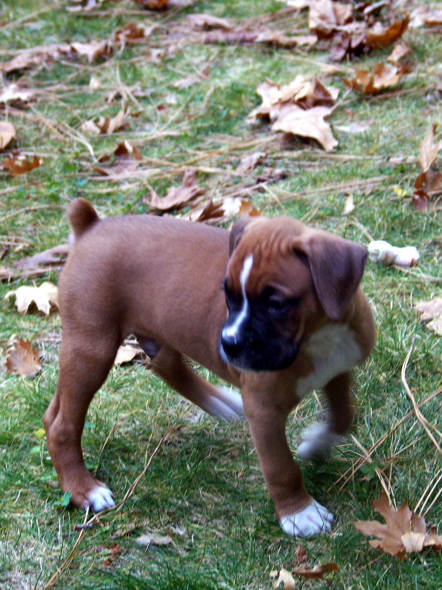
Our Daughter Becky was visiting from North Dakota and she brought her ferocious Dobernman (of the miniature variety), Swayze. Rocky didn’t know what to think of the killer beast and this little video was the result.